Agricultural WebGIS Platform
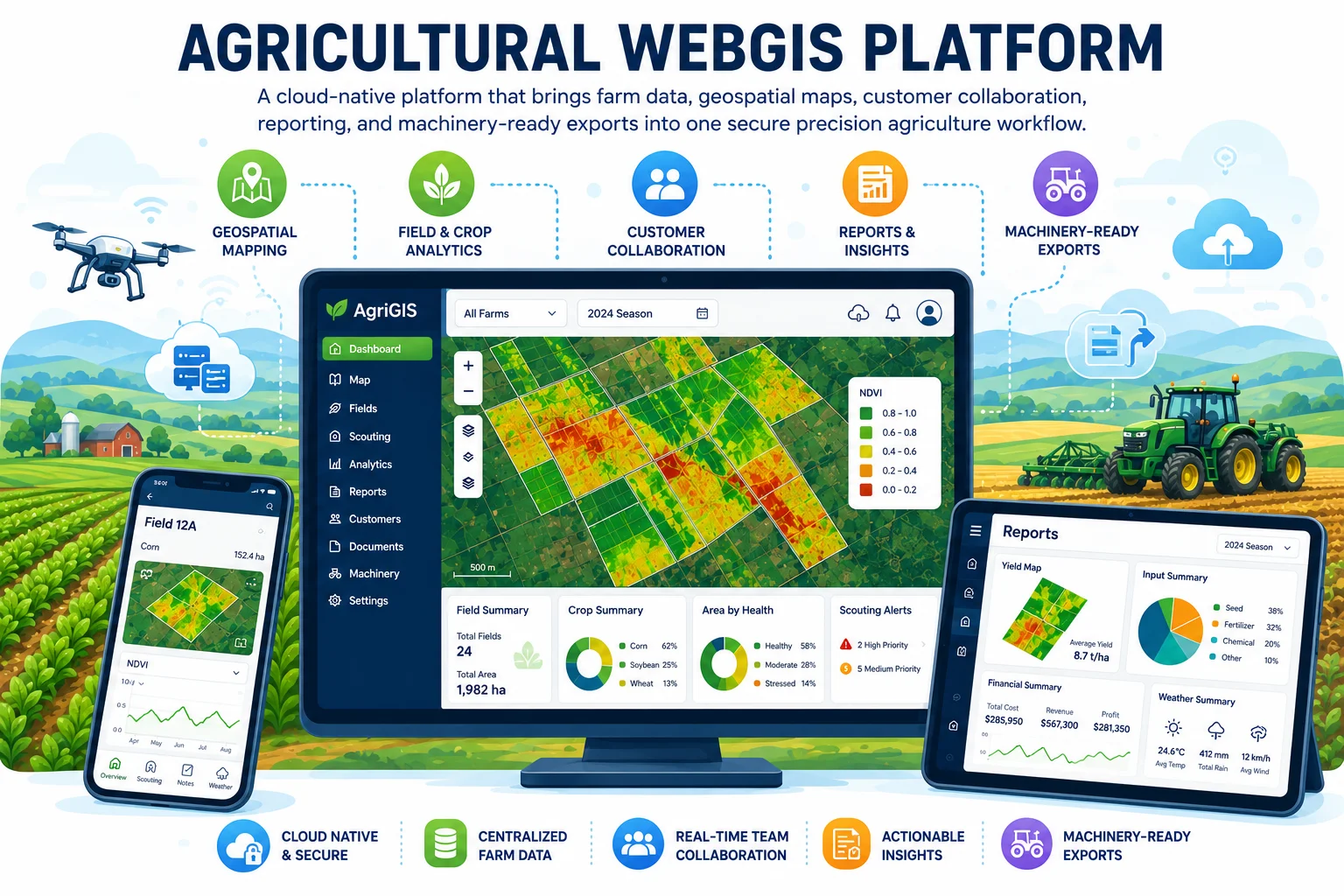
A cloud-native platform that brings farm data, geospatial maps, customer collaboration, reporting, and machinery-ready exports into one secure precision agriculture workflow.
The Challenge
Duo Sense helps farmers improve profitability and sustainability by combining yield data, satellite and drone imagery, soil sampling, and practical farming experience. Delivering these highly personalized services requires coordinating customers, farms, field boundaries, map products, reports, and machinery files. As the number of customers and datasets grows, maintaining traceability, secure collaboration, and consistent service delivery becomes increasingly complex.
Our Solution
We are developing TerraFusion, a cloud-native WebGIS platform that transforms Duo Sense’s advisory methodology into a structured digital workflow. Advisors can manage customers, farms, and fields; draw or import field boundaries; review versioned agronomic map products; and provide customers with secure access to their information. The platform also generates bilingual field reports and machinery-compatible exports, while integrated permissions, audit trails, subscriptions, credits, payments, and invoicing support the complete operational process.
Results & Impact
## Results & Impact
- Brings customer, farm, field, and geospatial information into one connected platform.
- Makes prepared agronomic results easier to review, compare, and trace over time.
- Strengthens collaboration between Duo Sense advisors and the farmers they support.
- Turns approved map products into clear reports and machinery-ready field outputs.
- Establishes a secure, scalable foundation for expanding Duo Sense’s digital agricultural services.